|
RillGrow 2 Soil Erosion Model |
|||
|
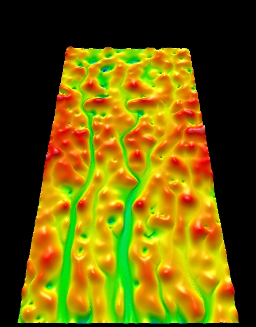
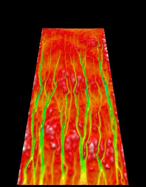
The RillGrow 2 model similarly uses data for initial microtopography of an unrilled area to predict rill patterns, as well as flow/sediment transport characteristics. While it represents the processes of flow and erosion more realistically than does RillGrow 1, it is still a relatively simple model. An early version of RillGrow 2 was described in Favis-Mortlock et al. (1998b; 2000). The model has now been developed further: deposition and splash redistribution are now modelled. Also, several validation studies have been carried out. In these, simulated rill patterns and data for flow rate/depth etc. are compared with real-world rill data from small plots and flumes.The results are very encouraging, and are currently being written up. |
|
||
|
Favis-Mortlock et al. (2001) and Favis-Mortlock and De Boer (2003) discuss the potential future applicability of this self-organising systems approach for modelling erosion and landscape development at a range of scales. Some examples of output from RillGrow 2 can be seen on this page. RillGrow 2 is available for download. The zipfile includes a Windows™ 32-bit executable and sample data. |
|
||
|
Dr David Favis-Mortlock, April 2017 |
|||